• Skip to primary navigation
  • Skip to main content
  • Skip to primary sidebar

FARRIT

Finding All Resources Relating to Idaho Topics

  • About FARRIT.Lili.org
    • Contact Us
    • Home
  • Agriculture
    • Camas
    • Gardening
    • Dams, Hydroelectric Power, and Irrigation
      • Columbia River Treaty
  • Books
    • Authors
    • Idaho Book of the Year Award
    • Idaho Writers-in-Residence
    • Popular Idaho Memoirs
    • Publishers & Presses
    • Recommended Idaho Books
    • Telephone Companies and Directory Publishers
  • Business
    • Business Research
    • Starting a Business in Idaho
    • NonProfit Research
    • Starting a NonProfit in Idaho
  • Collections
    • Digitized Publications on FARRIT
    • Guide to Digital Archives
    • Idaho Collections
    • Museums
  • Community Resources
  • Conflicts
    • Camas
    • Dams, Hydroelectric Power, and Irrigation
    • Idaho Women’s Conference
    • Internment of Japanese Americans
    • Ruby Ridge Standoff
    • Salmon
    • Sheep and Cattle Wars
    • Wars and Battles of Idaho and the West
  • Design
    • Architecture
  • Environment
    • Environmental Maps
    • Environmental Regulation and Cleanup
    • Dams, Hydroelectric Power, and Irrigation
      • Columbia River Treaty
      • Teton Dam Disaster
    • Environmental Impact Statements (EIS)
    • Formerly Used Defense Sites (FUDS)
    • Fire
    • Salmon
    • Wildlife
    • Food
      • Beer, Wine, & Liquor
  • Genealogy
    • Cemeteries
    • Census Records
    • Newspapers
    • Obituaries
    • Telephone Companies and Directory Publishers
  • Government
    • Census
      • Census Data
      • Census Records
      • Reapportionment and Redistricting
    • Elections and Voting
    • Idaho Women’s Conference
    • Government Documents
    • Idaho Government
  • Health
    • Novel Coronavirus (COVID-19) Pandemic
  • Land
    • Land Acts
    • Property Research
  • Law
    • Legal Resources
    • Native American Treaties
  • Maps
    • Aerial Maps
    • Environmental Maps
    • GIS Mapping
    • Insurance Maps
    • Land Resource Maps
    • Political Maps
    • Topographic Maps
  • Mining
    • Mining and Prospecting
    • Mining History
  • Natural Resources
    • Dams, Hydroelectric Power, and Irrigation
      • Columbia River Treaty
      • Teton Dam Disaster
    • Gardening
    • Plants
      • Camas
      • Weeds
    • Wildlife
  • People
    • Abigail Scott Duniway
    • African Americans on the Frontier
    • Authors
    • Census Data
    • Chinese People in Idaho and the West
    • Genealogy
    • Idaho Writers-in-Residence
    • Immigrant Stories
    • Mary Hallock Foote & Arthur De Wint Foote
    • Notable Idahoans
  • Places
    • Post Offices
  • Recreation
    • Sporting Life
    • Trails
  • Science
    • Archaeology and Paleontology
    • Environmental Regulation and Cleanup
    • Environmental Maps
    • Geology
    • Natural Resources
    • Science Databases
    • Wildlife
      • Salmon
  • Stories
    • African Americans on the Frontier
    • Chinese People in Idaho and the West
    • Immigrant Stories
    • Fur Trade
    • Internment of Japanese Americans
    • Lewis & Clark and the Corp of Discovery
    • Memoirs & Journals of Western Expansion
    • Oregon Trail
    • Teton Dam Disaster
  • Transportation
    • Aviation
    • Historic Airstrips and Airports
    • Bicycling
    • Oregon Trail
    • Railroads
    • Roads
    • Topographic Maps
    • Trails
  • Contact Us
You are here: Home / Collections / Digitized Publications on FARRIT

Digitized Publications on FARRIT

For more digitized publications, look at some of the sources in our list of digital archives.

Boise Public Library Ethnic History Archive  is a collection over 200 clippings from the Idaho Statesman spanning over fifty years. The Archive is part of  the [stacks] Idaho Digital Repository maintained by the Idaho Commission for Libraries.

The PDFs on this page, unless otherwise noted, are licensed under CC BY-NC 4.0

The Week in Boise 1911, 1st Edition
The Week in Boise 1911
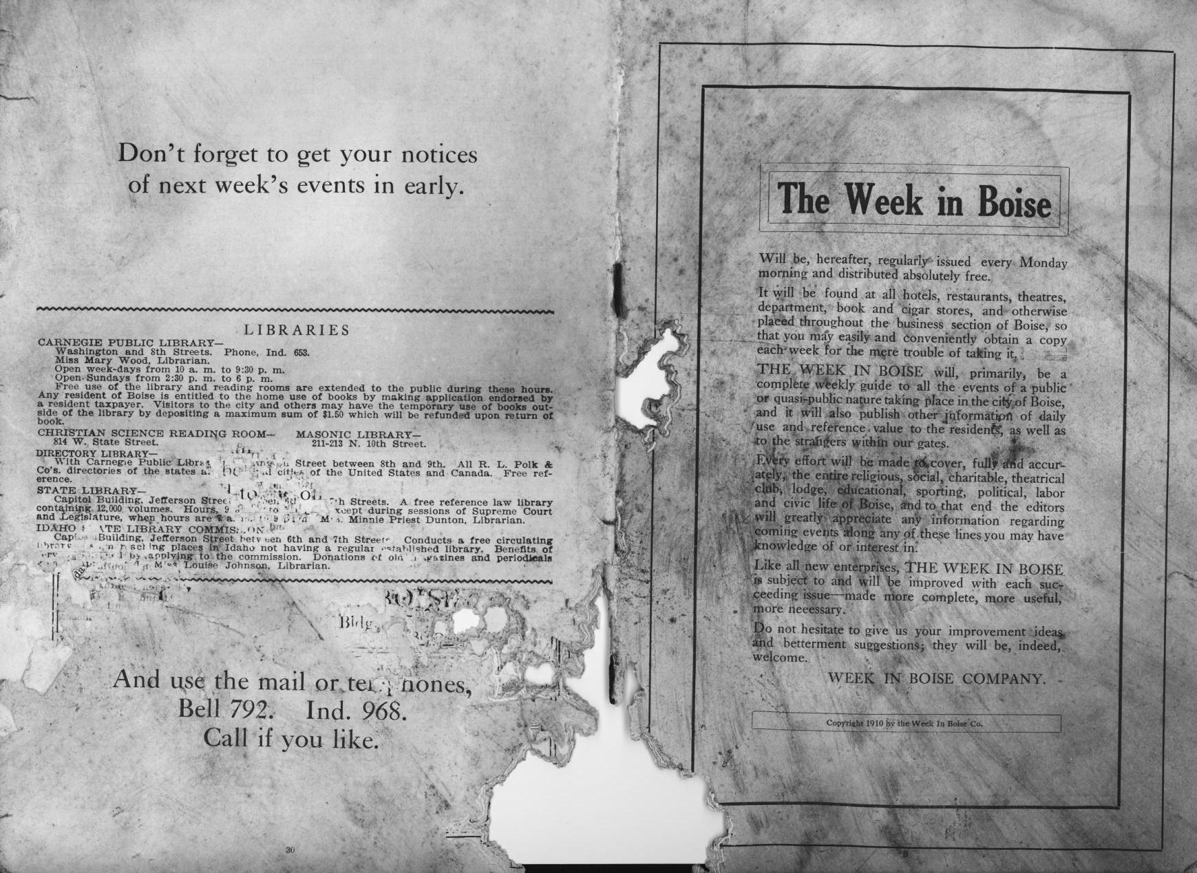
  • The Week in Boise 1911 (PDF) – CONTENTS INCLUDE: Introduction of The Week in Boise — Libraries — An Explanation — Theatrical Productions, Films, Events — Parks and Public Grounds — Hospitals, Asylums and Homes — Street Numbering Plan — Arrival and Departure of Mails — Poem: “Idaho – An Easterner’s Salvation” —  Article: “Smuggles Jewels Inside of a Dog” — Rail and Stage Line Time Tables — Clubs and Associations — Public Buildings, Halls, Etc. — Churches — Trades and Labor Organizations — Societies and Lodges.

The Items below were digitized from the Boise Public Library collection. Please credit the Boise Public Library when linking to them.

Map of the Arid Plains and Placer Lands from Report on the Irrigating and Reclaiming of Desert Lands by Arthur DeWint Foote 1887.
  • Early History of Idaho Chamberlain 1909 a 1909 publication (PDF).
  • Boise and Interurban Railway photos (PDF).
  • Arthur D. Foote’s 1887 Report on the Irrigating & Reclaiming of Certain Desert Lands (PDF).
  • W.E. Pierce & Co. Real Estate Dealers Boise City Idaho Illustrated W E Pierce & Co 1893 (PDF).
  • Founding of McCall, Idaho by Frank P. Rowland (PDF).
  • Commercial Onion Culture in Idaho – a 1917 publication of the University of Idaho’s Agricultural Experiment Station (PDF).
  • Excerpts from Idaho: Dawn of Plenty the seventh biennial report of the Commissioner of Immigration, Labor and Statistics (1911-1912) (PDF).
  • Report of the Inspector of Mines for the State of Idaho for the Year 1899 (PDF).
  • Report to the Governor on the Insurrection in Shoshone County Commencing April 29th, 1899 (PDF).
  • League of Southern Idaho Commercial Clubs, 1907 (PDF).
  • Historic Houses of Boise’s Warm Springs Ave Area published jointly in 1975 by Friends of the Bishop’s house and the Boise Junior League. Digitized with permission (PDF).
  • Maps Can Help You Trace Your Family Tree: how to use maps in genealogy. Reston, Virginia: U.S. Department of the Interior, U.S. Geological Survey, 1991.

Maps

1887

  • Map of Idaho 1887. Map Scale 1″ = 35 miles. Labeled Spokane, Washington: Christensens.

1900

  • Map of Idaho, 1900 Map Scale: 1″ = 27 miles. George F. Cram Chicago Ill. 

1920

  • Map of Ada County, Idaho. 1920. Map Scale 1″=2 miles (1:124,000). Compiled from Official Records by the Inter-mountain Map Company, 606 Overland Bldg., Boise, Idaho.
  • Rand McNally Black and White Mileage Map: Idaho. Commercial Atlas of America page 360 [Idaho]. Rand McNally & Company, 1920.

1921

  • Rand McNally Indexed Pocket Map Tourists’ and Shippers’ Guide: Railroads, electric lines, post offices, express, telegraph and mail service; counties, congressional townships, cities, towns, villages, rivers, lakes, islands, creeks, mountains, etc.; air service landing fields; population according to the latest official census; main highways. Chicago, Illinois; New York, N.Y.: Rand McNally & Company, 1921.

This page updated by rjoiner on January 8 ,2021.

Primary Sidebar

LiLI Services

LiLI Databases - access magazine articles free

Other Resources

TumbleBooks of the Day
DaybyDayID.org Storytimes OnlineSay YES to TBS

Search Our Site

Scout Video Collections

Scout Video Collections

scout.lili.org

This website and program are brought to you by the Idaho Commission for Libraries and made possible, in part, by the Institute of Museum and Library Services (IMLS).

Institute of Museum and Library Services Idaho Commission for Libraries

Top | Log in